SWEARING IN OF MUNICIPALITIES BOARDS
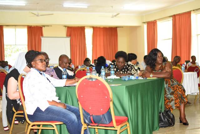
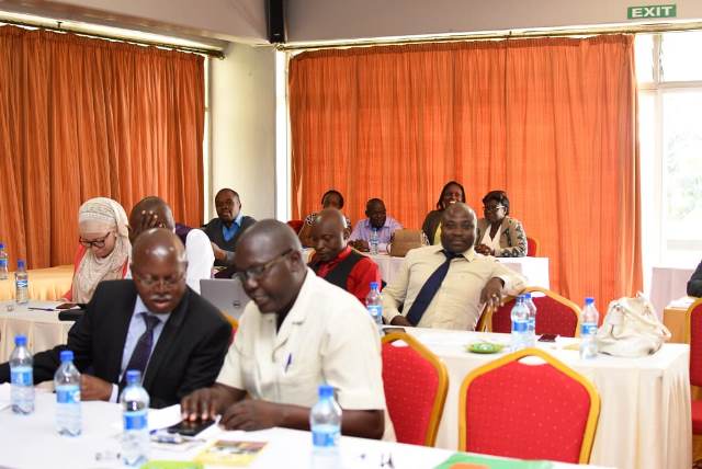
H.E FCPA Fernandes Barasa presided over the swearing-in ceremony of 17 board members for Kakamega and Mumias Municipalities, among them Dr. Mariam Barasa, the CECM for Lands and Housing, at the County Chambers.
In his address, the Governor emphasized their responsibility to diligently serve the people of Kakamega, adhering to the principles of the Constitution, particularly chapter six and articles 10, 73, and 232. He also underscored the importance of following the Mwongozo code, Public Officer and Ethics Act (2003), OECD Guidelines and Corporate Governance, and global best practices.
The event was graced by Mumias West MP Hon. Johnson Naicca, MCAs led by the Deputy Speaker Hon. Bernard Shitiabayi, CECMs and Chief Officers, County Attorney Ms. Vivianne Mmbaka, Advisors, among others.


